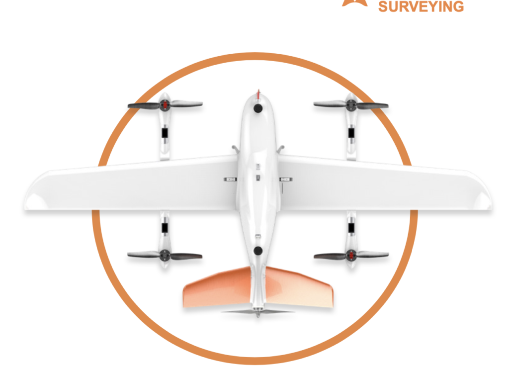
VTOL P330
VTOL FIXED-WING DRONE FOR SURVEYING AND MAPPING

Product Features
The P330 Pro is a high-performance vertical takeoff and landing (VTOL) fixed-wing unmanned aircraft system (UAS), specially designed for aerial surveying and mapping applications.
With its concept of high accuracy, long endurance and multiple payloads, it meets the requirements of mapping and aerial surveying professionals for many different applications. The P330 Pro features a 100 Hz differential module, which allows aerial mapping operations at the centimeter level, and a flight endurance with payload reaching more than 150 minutes.
- Strong Performance
- Quick assembling
- 6000m Max. Altitude
- More than 150min Endurance
- Wind Resistance Level 6
VTOL P330 Pro
Features VTOL P330 Pro
Aerospace composite material capable for high altitude and low temperature operations.
Simple to assemble,no need for additional tool and box size fit in most SUV
The P330 Pro VTOL drone is available in several payload options to suit customer needs.
One button operation to follow route according terrain to ensure flight safety.
Quick import of survey area files, blocks/strips
With 2kg of Payload, 150min Endurance

Detail Parameters
more detail about UAV VTOL P330 Pro parameters

Fuselage Length
1.21 meter
Wingspan
2.53 meter
Maximum Take-off Weight
14 Kg
Maximum Payloads
2 Kg
Engine
Full Electric
Box Dimension
1.25m*0.45m*0.45m
Maximum Endurance
150 mins
Maximum Range
150 Km
Cruising Speed
21 m/s
ADS-B
Support
Take-off/Landing Mode
Auto-VTOL
Maximum Altitude
6000 meters
Working Temperature
-20℃~50℃
Hor. Positioning Accuracy
1 cm+1 ppm
Ver. Positioning Accuracy
2 cm+1 ppm
Data Communication Distance
Up to 15 Km
Ver. Positioning Accuracy
2 cm+1 ppm
RTK Accuracy
H: 2 cm+1 ppm
V: 2 cm+1 ppm
