SLAM LiDAR RS10
INNOVATIVE SURVEYING SLAM SOLUTION

Product Features
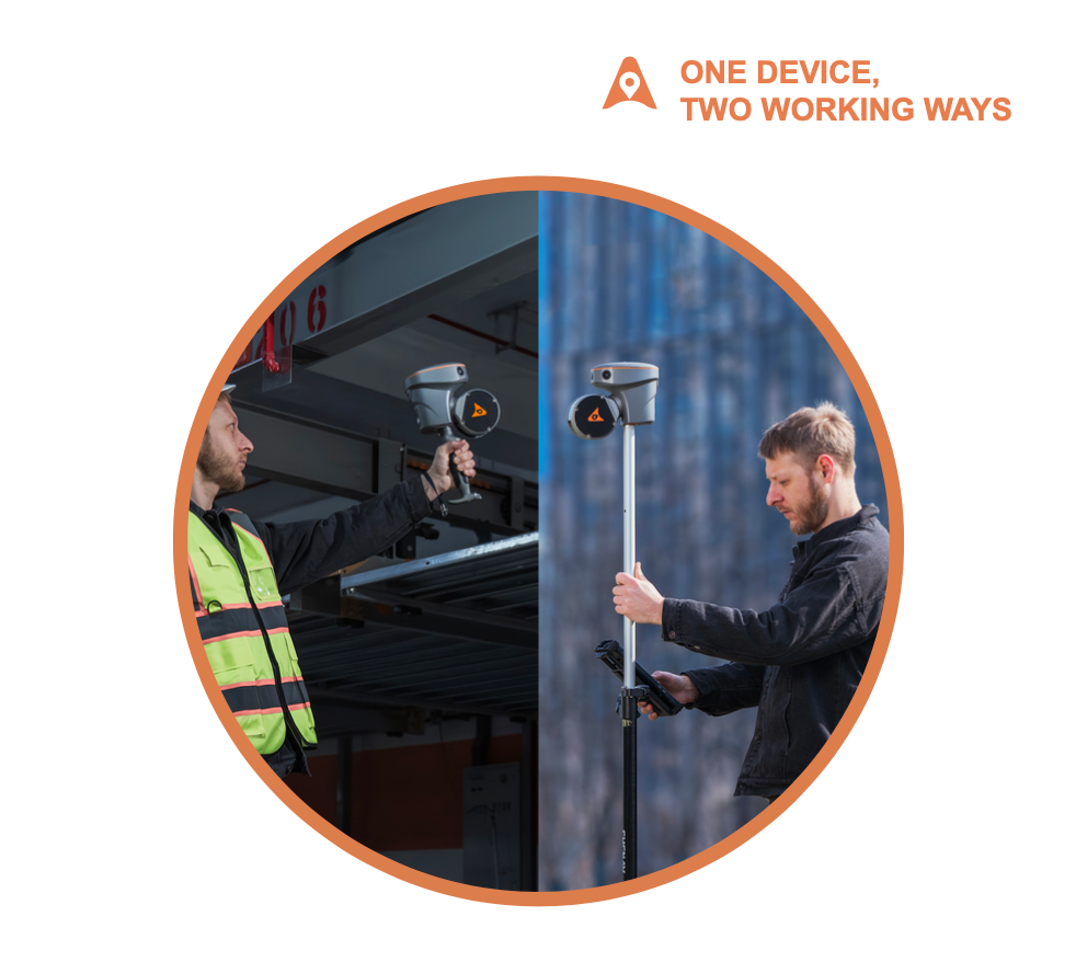
The RS10 brings a new approach to geospatial surveying by integrating GNSS RTK, laser scanning and visual SLAM technologies into a single platform designed to improve the efficiency and accuracy of indoor and outdoor 3D scanning and surveying tasks. The RS10 is a versatile solution for surveying, civil engineering and BIM professionals, as well as for applications such as agricultural and forestry surveying, power line inspection, material pile volume calculation and data collection in underground spaces. With the RS10, surveyors are able to overcome the challenges of surveying in areas with poor or no GNSS signals, bringing a new level of flexibility and accuracy to their work. By supporting both traditional GNSS R
- Hot-Swappable Battery
- Ready for RTK Users
- Automatic Drawings
- Precision Alert
SLEM LiDAR RS10
Features SLEM LiDAR RS10
The RS10 is the result of CHCNAV's expertise in GNSS technology development. Featuring a 4th generation air dielectric GNSS antenna, it provides RTK positioning accuracy of better than 3 cm in a variety of challenging environments.
The transition between outdoor and indoor environments is seamless with the RS10's ability to use the same coordinate system without the need for additional georeferencing.
Equipped with a powerful on-board processor, the RS10 provides real-time SLAM (Simultaneous Localization and Mapping) capabilities to create georeferenced point clouds directly in the field without the need for post-processing.
With innovative SFix technology working in RTK rover mode, when RS10 enters an area with weak or even no GNSS signal, where conventional RTK surveying doesn’t work, RS10 will calculate accurate RTK point coordinates from its LiDAR and Visual SLAM data.
The integration of high-precision GNSS and SLAM technologies eliminates the need for traditional loop closure, which often complicates the data collection process for handheld scanners.
The RS10's Vi-LiDAR technology offers a new mode of RTK surveying that combines GNSS rover capabilities with laser scanning for contactless offset measurements.
SLAM LiDAR RS10
The RS10 brings a new approach to geospatial surveying by integrating GNSS RTK, laser scanning and visual SLAM technologies into a single platform designed to improve the efficiency and accuracy of indoor and outdoor 3D scanning and surveying tasks.

Detail Parameters
more detail about SLAM LiDAR RS10 parameters

Absolute Accuracy
H: < 5 cm RMS
V: < 5 cm RMS
Scanning Range
0.05 to 120 m
Weight of instrument
1.9 kg (including RTK and battery)
FOV (Horizontal)
360°
Data Storage
512 GB
GNSS System
GPS, GLO, GAL, BDS, SBAS, QZSS, L-band
Camera type
15 MP (5 MP*3)
IMU update
rate 200 Hz
Operating temperature
-20°C to +50°C
Ingress protection
IP64 (according to IEC 60529)
